
 Portugues
Quizzity
Saved games stay in this browser only.
About the game
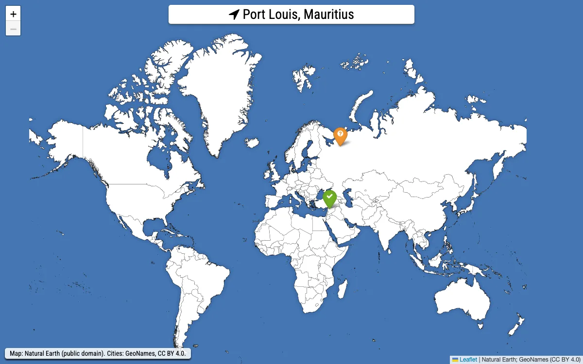
Quizzity is a geography quiz played on a world map with no names on it. The game shows you the name of a city, and you click where you think it is. Six cities make a round. A guess within about 30 kilometres counts as exact and is worth 2000 points; the farther off you click, the fewer points you get, and a guess more than 1500 kilometres away is worth nothing. Speed matters too: an answer in the first second earns a 40% bonus, and the bonus shrinks until it disappears after five seconds.
The list of cities is made of every capital plus the biggest cities of each country, so rounds mix places everyone knows, such as Shanghai or Mexico City, with capitals you may have to think about. After the sixth guess the map shows your clicks next to the real positions with a line between them, and tapping a city marker tells you the distance, the time you took and the points.
Playing it here
Click Play, then Start game!. A panel at the top names the city; the map is yours. Zooming in before you click costs time, but a closer view lets you place the pin more precisely, so there is a real choice between a quick rough guess and a slower accurate one. At the end of the round the dialog shows your total, your average distance and your best guess, and remembers your personal high score in this browser. Click Try again! for six new cities.
Controls
| Input | Action |
|---|---|
| Mouse click or tap on the map | place your guess |
| Mouse wheel, pinch, +/- buttons | zoom in and out |
| Drag | move the map |
| Click a marker (after the round) | see distance, time and points for that city |
A few things worth knowing
Blank map. The tiles show only country borders and the main provincial borders, with no labels, so you must rely on shapes and neighbours. Coastlines are a good starting point.
Zoom costs seconds. The fastest bonus is only 40%, but a guess that is 400 km off is worth 1100 points while an exact one is worth 2000, so spending an extra second or two to zoom is usually worth it on small countries.
Capitals are easier than you think. Many capitals sit on a coast or on a big river, so look for those first.
Credits and licence
Quizzity was created by David Peter. The code is released under the MIT licence. The map is drawn from Natural Earth (public domain) and the cities and countries come from the GeoNames database (https://www.geonames.org, Creative Commons Attribution 4.0). The game also contains Leaflet (BSD-2-Clause), leaflet.awesome-markers (ISC), jQuery and lodash (MIT), animate.css (MIT), Font Awesome (font under the SIL Open Font License, CSS under MIT) and the font Roboto Condensed (SIL Open Font License). Leaflet.geodesic, which draws the lines between your guess and the real place, is licensed under the GNU GPL version 3, so the complete source of this build is hosted next to the game. We changed the game in a few ways: the Google Analytics tracking, the upload of finished games to the author's server, the link to Wikipedia and the links to GitHub and PayPal were removed, and the font comes with the game instead of from Google Fonts, so nothing is requested from other websites. The licence texts and the source are linked from this page.